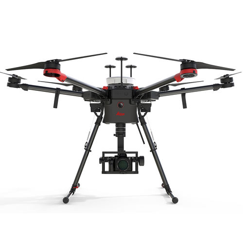
Leica Aibot, the complete UAV solution for surveying, mapping and construction enables fast and flexible data collection. An easy workflow integrated into the Leica Geosystems ecosystem guides you through your project lifecycle, providing you quick access to critical information to perform your day-to-day work.
Easy set-up and flight planning helps record data autonomously according to planned waypoints, generating precise orthophotos, point clouds and 3D models. The built-in Leica Geosystems GNSS technology geo-references data for most accurate surveying and mapping. Leica Aibot is fully integrated into the powerful Leica Infinity workflow, guiding you smoothly throughout the entire project lifecycle.
Type : hexacopter
Applications : aerial photography, mapping, for industrial applications, for photogrammetry
Other characteristics : carbon fiber, autonomous, live data transmission
Payload : Max.:
Endurance : Min.:



Reviews
There are no reviews yet.