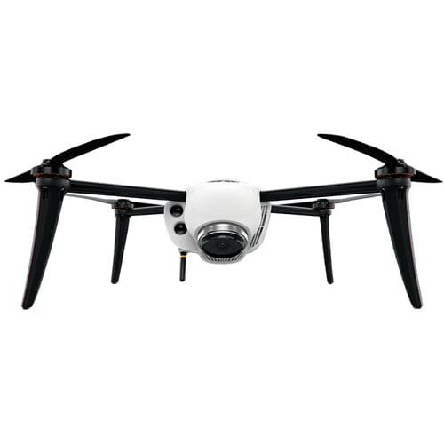
Kespry 2S
Coverage: 150+ acres single flight
Wind Resilience: 20 mph sustained (32 km/h), 30 mph gusts (48 km/h)
Flight Time: 30+ minutes (U.S. configuration), field swappable batteries
Obstacle Avoidance: 55 yard (50 m) forward-facing LiDAR
Network Speed: 5 GHz Wi-Fi and LTE equipped
Weight: 2 kg
Temperature Range: 14°F to 104°F (-10°C to 40°C) (operating range)
Image Resolution: Down to .2 inch (.5 cm) per pixel
Ground Positional Accuracy: *.06-.16 feet (2-5 cm) achievable positional accuracy horizontal & vertical, average 10 cm for vertical
Kespry GNSS Base Station Receiver:
GNSS: L1, L2, (GPS and GLONASS)
Channels: 132
Memory Storage: Internal 8GB
*under optimal set-up conditions and mostly level terrain
Type : quadrotor
Applications : inspection, for industrial applications
Other characteristics : live data transmission
Endurance : 30 min



Reviews
There are no reviews yet.